PANORAMIC IMAGE
TRAFFIC SIGN RECORDS
ROAD AXIS
ROAD SURFACE ASSESSMENT
ROAD DATA BANK
VIDEO VIEWER

PANORAMIC (SPHERICAL) IMAGE

Fewer field trips yet faster performance of tasks

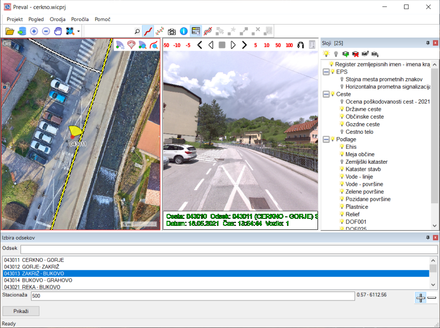
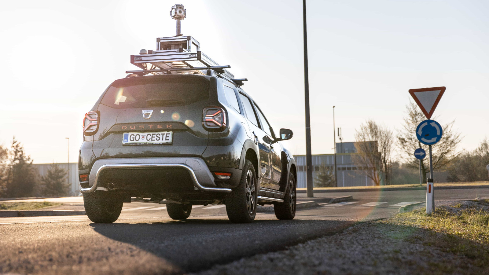
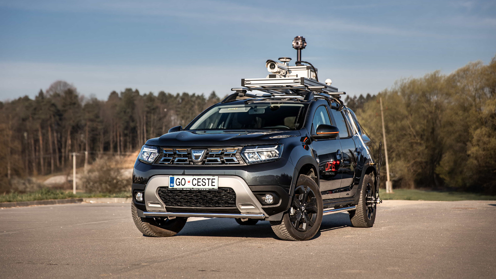
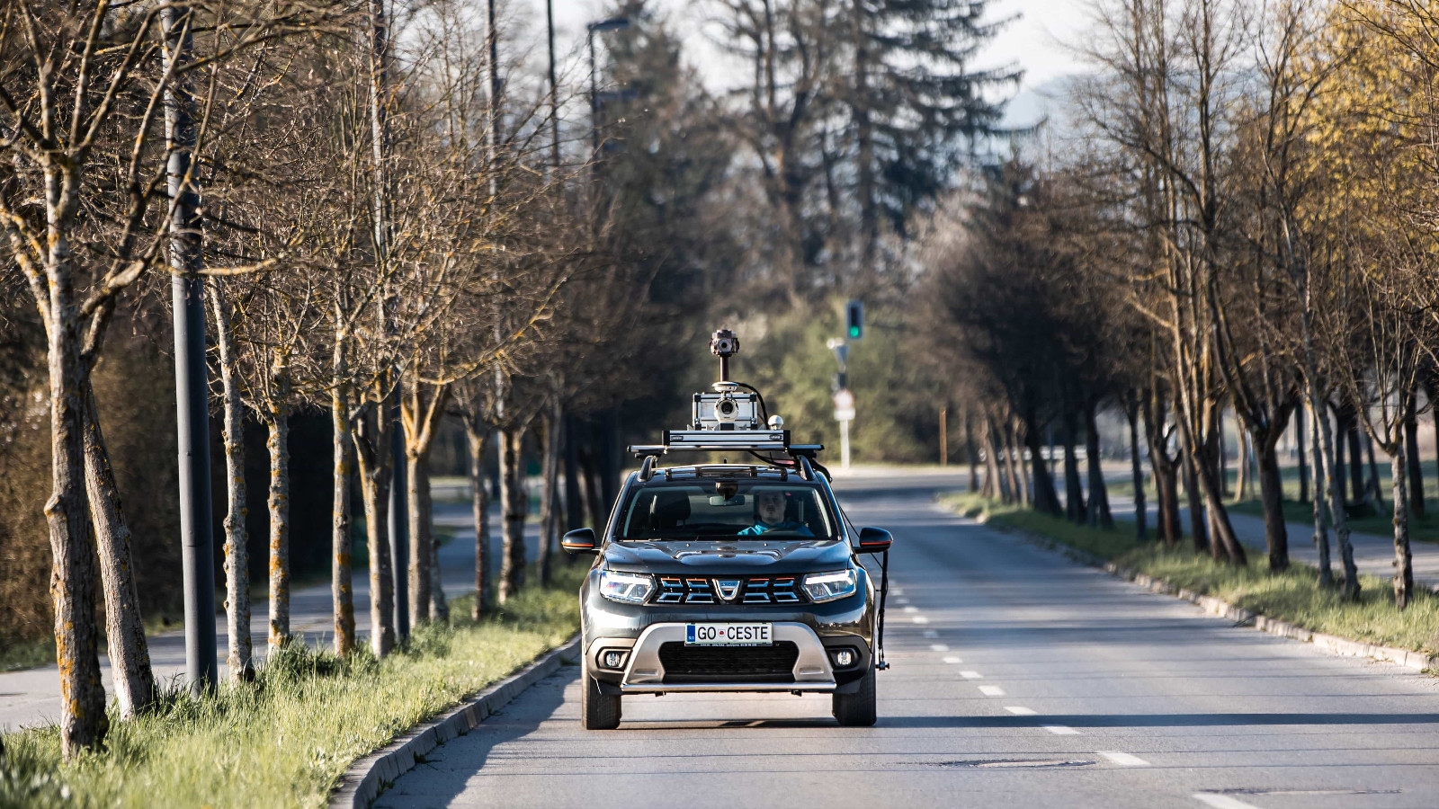
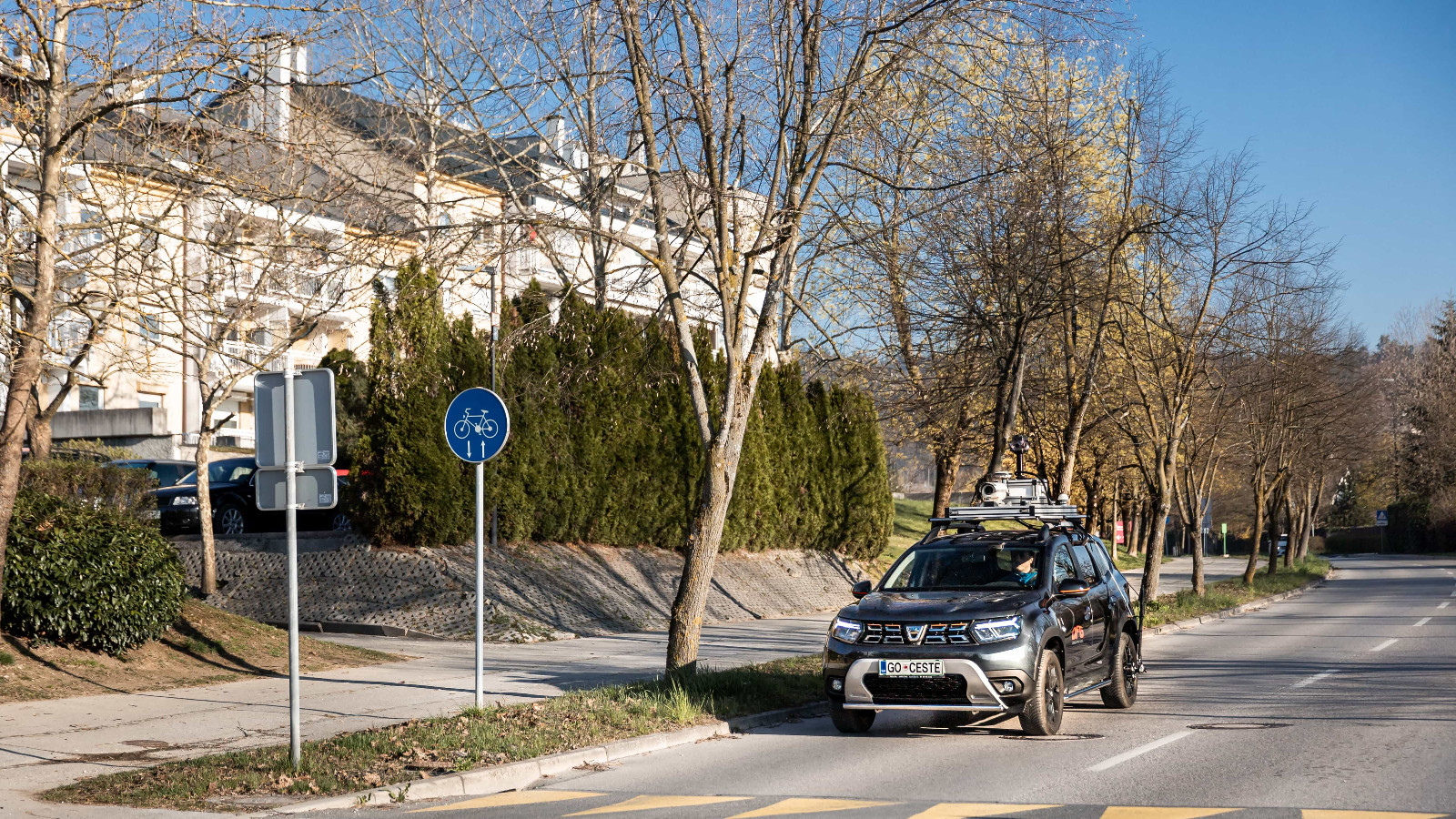
I find the video most useful in drafting project conditions and opinions when communicating with the engineer. I look at the situation in the video, take simple measurements, and prepare a report without going into the field, anytime, even if it’s raining.
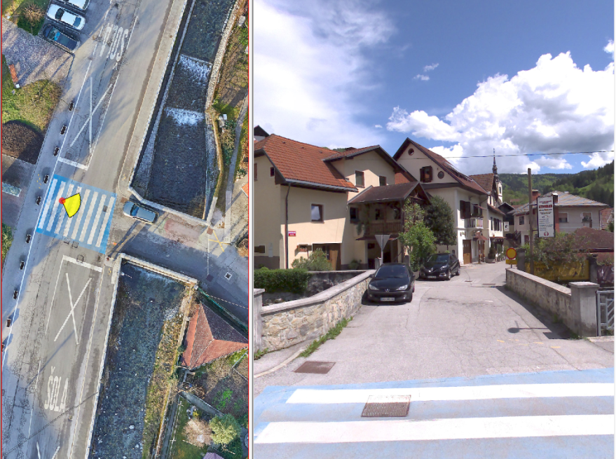
Municipality residents often contact me with a particular problem. I play the video, measure everything on it, and answer them without having to travel into the field, which would require significantly more time.
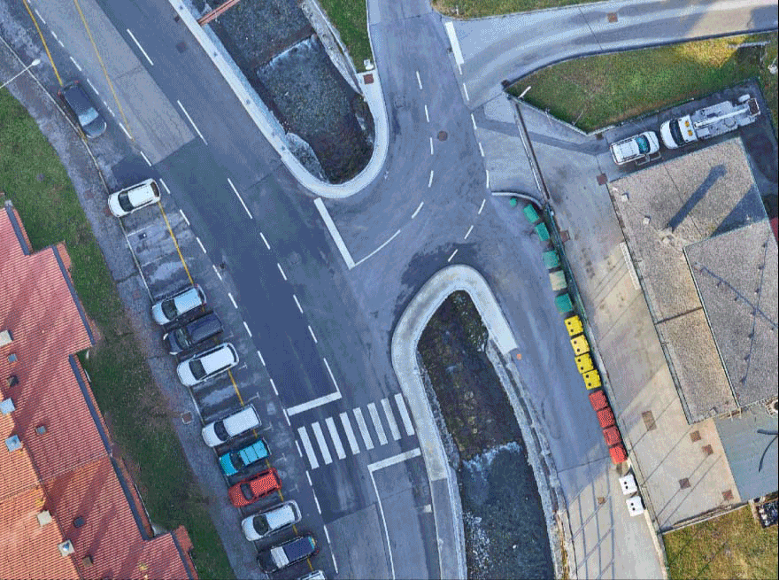
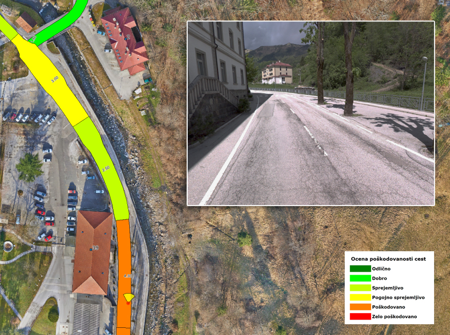
The time savings are huge! I use these videos also in preparing studies for smaller investments and performing calculations regarding completed works, as the prior condition of the road (the cross-section) is quite evident.
The entire amount of the investment paid for itself in a very short time because of the video alone, without even taking into account the other data records we ordered. If we had been aware of the usefulness of the video, we would have ordered it earlier.


ALEŠ URANJEK,
Municipality of Žalec

More information

TRAFFIC SIGN RECORDS

Using data on traffic signs to control and reduce maintenance costs

In the case of the Municipality of Novo Mesto, the acquisition and analysis of traffic sign data was used to establish the financial framework for periodic maintenance of traffic signs, street signs, and traffic mirrors, to provide detailed insight into the state of traffic signs and traffic equipment, and to set the basis for reducing maintenance costs.


JURE DUH,
Municipality of Novo mesto


More information
dfg-os

ROAD AXIS

From road axes formulated in line with the actual natural terrain, to shortened procedures and quality preparation of ordinances on the categorisation of municipal roads

I have been dealing with the categorisation of municipal roads, ordinances, and general records of municipal roads for 15 years. As the drafter of more than 150 road categorisation ordinances, I can confirm that the road axes provided by DFG CONSULTING significantly simplify and shorten the process of preparing ordinances for the municipalities that are our final client, as in preparing the necessary materials we do not need to deal with whether the road really exists, where it runs, and what the pavement construction is. The axis of the road is the input data with which we establish the records of municipal roads at the highest level.


UROŠ KOŠIR,
Locus, D.O.O


More information
dfg-opc

ROAD SURFACE CONDITION ASSESSMENT

From analysing video recordings, to the systematic reconstruction of roads to the satisfaction of the residents of the municipality

As the head of the traffic and utility infrastructure department, I had to determine the condition of our roads and how much would have to be invested in maintenance in the long run.
Based on a road surface condition assessment, DFG CONSULTING prepared a list of necessary investments. It is essential that I do more with less money in order to gain a better overview of the situation.


MATJAŽ SRŠA, MSC.,
Municipality of Kamnik


More information
dfg-bcp1

ROAD DATA BANK

From an inventory of the actual situation, to concession contracts for road maintenance without surprises

I usually refer to the road data bank as a record of construction work on road infrastructure. These are also the most expensive elements; their dynamics of change are usually small. As a utility company owned by two municipalities and the state, we are not legally obliged to manage this data base, but we benefit greatly in road management.


MARKO KLJUN,
Director of Komunala Kočevje


More information
PREVAL

VIDEO VIEWER


  • The display of the video of a specific chainage of a road section with the possibility of viewing the situation to prepare a response for the client.
  • Interactive measurement of the width of the road, the distance of buildings from the edge of the road, or of the surface of the road section that is to be reconstructed.
  • The display of road sections according to the level of damage in order to facilitate the prioritisation of reconstruction works.
  • Updating of traffic sign records after any change.
  • The calculation of the ground area of road markings to enable a preliminary estimation of painting costs.
  • etc.

More information
20+
A YEAR OF EXPERIENCE
100+
UCCESSFULLY IMPLEMENTED PROJECTS
100+
SATISFIED CLIENTS
200+
ROAD INFRASTRUCTURE DATABASES INCLUDED
120.000+
RECORDED KILOMETERS
dfg-map

More than one hundred satisfied customers

Republic of Slovenia Ministry of Infrastructure
Municipality Ljubljana
Municipality Maribor
Municipality Celje
Municipality Novo mesto
Municipality Vipava
Municipality Velenje
Municipality Tržič
Municipality Slovenska Bistrica
Municipality Radovljica
Municipality Ptuj
Municipality Nova Gorica
Municipality Murska Sobota
Municipality Lendava
Municipality Laško
Municipality Krško
Municipality Koper
Municipality Kamnik
Municipality Jesenice
Municipality Izola
Municipality Idrija
Municipality Dravograd
Municipality Cerknica
Municipality Brežice
Municipality Bled
  • 2023_04_07-06_32_50_DFG-Consulting-avto_1-min 2
  • 2023_04_07-06_40_42_DFG-Consulting-avto_2-min
  • 2023_04_07-06_51_32_DFG-Consulting-avto_3-min-1
  • 2023_04_07-07_05_23_DFG-Consulting-avto_4-min
  • 2023_04_07-07_21_08_DFG-Consulting-avto_5-min
  • 2023_04_07-07_22_34_DFG-Consulting-avto_6-min-1
  • 2023_04_07-08_28_55_DFG-Consulting-avto-7-min

Contact Us

    crossmenuchevron-upchevron-down